
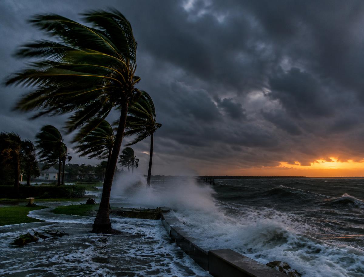
Isaias has become the first Atlantic hurricane of the 2026 season, the latest date a first hurricane has formed in more than a century, as it heads for the northern Gulf coast of the United States.
The storm had sustained winds of 80mph and a minimum pressure of 975mb, and was expected to strengthen to a category two hurricane before landfall on Friday evening local time, according to the US National Oceanic and Atmospheric Administration (NOAA).
A hurricane warning has been issued. Residents have been told to prepare for long power cuts and to follow any evacuation orders.
What to expect
Isaias is forecast to bring 75 to 150mm (2.9 to 5.9in) of rain across the Gulf coast, with up to 250mm in places. Flash flooding and isolated river flooding are possible.
NOAA warned of an increasing likelihood of life-threatening storm surge along parts of the northern Gulf coast, and of damaging hurricane-force winds over the Florida panhandle, southern Alabama and Mississippi.
Storm surge — the rise in sea level pushed ashore by a hurricane's winds — is often the deadliest part of a tropical storm, flooding low-lying coastal communities within hours.
Why the season has been so quiet
The Atlantic hurricane season runs from June to November and usually produces its first hurricane by mid-August. This year has been strikingly calm.
Forecasters attribute that to a strong El Niño, the periodic warming of the Pacific Ocean that increases wind shear over the Atlantic. Shear tears at developing storms and stops them from organising.
No first hurricane of a season had formed this late since 8 October 1905. That record pre-dates satellite tracking, which began in the 1960s and has allowed far more storms that never reach land to be detected — so the true historical picture may be incomplete.
A quiet season does not mean a safe one. Meteorologists often stress that it takes only one hurricane making landfall to make a season devastating for the people in its path.
Extreme weather elsewhere
Isaias comes amid a run of extreme weather around the world.
In Zimbabwe, a state of disaster was declared in south-eastern Masvingo province on Tuesday after a severe hailstorm tore the roofs off an estimated 8,500 homes. A further 15,300 people reported shattered windows, leaving many exposed as the rainy season begins. Damage to power infrastructure also disrupted drainage and sewerage, raising public health concerns.
In Australia, a rare tornado struck the town of Ulladulla, about 140 miles south of Sydney, on 3 October, damaging properties and felling trees. The country records only around 50 tornadoes a year.
A warming backdrop
Scientists say climate change is not making hurricanes more frequent overall, but warmer seas are making the strongest storms more intense and wetter, and helping them strengthen more rapidly as they approach land.
Higher sea levels also mean that storm surges reach further inland than they would have done decades ago.
The northern Gulf coast has been battered repeatedly in recent decades, from Hurricane Katrina in 2005 to Hurricane Michael, which struck the Florida panhandle as a category five storm in 2018. Many communities are still recovering from earlier storms, and insurance costs in the region have soared.
Emergency managers in Florida, Alabama and Mississippi have urged residents not to be complacent because Isaias is forecast as a category two rather than a major hurricane. Storm surge and flooding rain can be deadly regardless of a storm's wind category.
Power companies have positioned crews and equipment to restore electricity after the storm passes, while shelters have opened in coastal counties.
For residents of the Gulf coast, many of whom have lived through repeated hurricanes in recent years, the immediate focus is on securing homes and heeding evacuation orders before Isaias arrives.