Shetland has been hit by flash flooding and a landslide after torrential rain swept across the islands, the first blow of a weekend of severe weather that will see two named storms cross Scotland in quick succession.
Water poured into cafés, restaurants and shops in Lerwick, while a landslide blocked the road between Garderhouse and Reawick on the west side of the Shetland mainland. The downpour arrived only hours before yellow rain warnings came into force for large parts of Scotland on Friday morning as Storm Austen, the first named storm of the season, moved in.
Forecasters say Storm Austen will be followed almost immediately by Storm Boelo, which is expected to bring the strongest winds of the week to Scotland from Saturday afternoon.
‘Waves above the height of the cars’
People who were in Lerwick when the rain struck described scenes they had never witnessed on the islands.
Johnny Sandison, who works at the Lerwick Brewery, called the downpour “biblical”. “It was probably the heaviest rain I have ever seen in Shetland in my life,” he said. “When the cars were going past on the road, you could see these massive waves were coming up above the height of the cars themselves.”
Kenneth Hughson, a chef at The Dowry restaurant, said the kitchen flooded “within thirty seconds”, forcing staff to throw away stock. “Inside the door, the corridor, just everything. Two inches plus of water within seconds,” he said.
On Commercial Street, the town’s main shopping street, Kirsty Semple, who owns Beauty 109, said water had been “pouring” into her shop. “We had five towels up against the door and it was just not stopping. The drains outside were lifting up and overflowing,” she said.
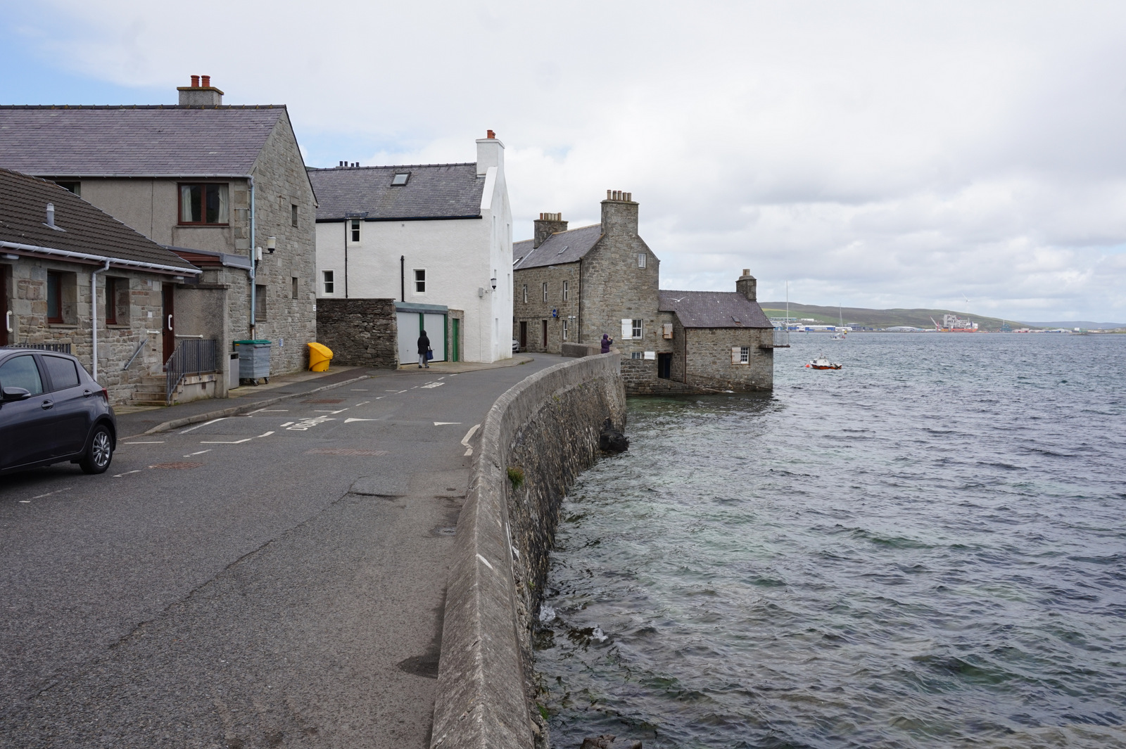
Shetland Islands Council said high tides had made the flooding worse around the Esplanade and Harrison Square, close to the harbour. It asked motorists to take extra care.
In a statement about the landslide, the council said: “Traffic for Reawick and Skeld is being directed through the Houllmalees and Gruting; work will shortly be under way to clear the road, which is expected to be open within a few hours.”
What Storm Austen brings on Friday
The Met Office yellow warning for rain covers parts of Scotland through Friday. Between 20mm and 40mm of rain is widely expected, with as much as 80mm building up in a few places. Forecasters warned that this could cause localised flooding, spray and standing water on roads, and difficult driving conditions.
The most damaging winds from Storm Austen will be felt further south. Amber wind warnings are in place for south-west England on Friday morning, where gusts are expected to reach 60–70mph widely and perhaps 80mph on exposed coasts and hills. Winds of that strength can bring down trees, cause power cuts and damage buildings.
North-west France is in the direct path of the storm, with gusts close to 90mph possible in parts of Brittany, while the Channel Islands are bracing for severe gales of up to 80mph.
Travel operators across Scotland have warned passengers to check before setting out, with roads, rail services and ferry crossings expected to face disruption as the bad weather spreads.
Storm Boelo: the weekend’s bigger threat for Scotland
Storm Boelo, named by the Met Office on Thursday, is expected to bring wet and windy weather to the whole of the UK on Saturday. The strongest winds are forecast to reach Scotland on Saturday afternoon and to peak overnight.
Yellow wind warnings have been issued for Scotland, Northern Ireland and northern England, valid from Saturday and lasting for most of Sunday. Gusts of 50–65mph are expected widely, with up to 80mph in exposed spots. Forecasters say strong winds could funnel through the Central Lowlands for a time, the most densely populated part of the country.
Further travel disruption and power cuts are possible. Because the ground is already saturated after recent wet spells, there is an additional risk of localised flooding.
BBC Weather said it was not unusual for storms to arrive in clusters in autumn, when sharp temperature contrasts and a powerful jet stream can allow new low-pressure systems to develop rapidly. In about half of the years since storm-naming began in 2015, the first named storm did not arrive until after 1 November, so this season has started relatively early.
How to prepare
The double storm comes a day after the UK government launched its Be Ready campaign, urging households to keep enough water, food, cash, torches, batteries and a wind-up radio to last 72 hours in an emergency. Ministers said the campaign had been deliberately timed for the start of the winter storm season.
Emergency services advise people in warning areas to secure loose items such as garden furniture and bins, to avoid driving through floodwater, to keep phones charged in case of power cuts and to check on elderly neighbours. Anyone travelling over the weekend, especially on ferries to and from the islands, should check with their operator before setting off.
In Shetland, where clean-up work began on Thursday evening, businesses were counting the cost of a storm that had not even officially arrived.